You don't have to be trained in GIS (Geographic Information Systems) to be able
to make your own maps, just a web tool like DataMIL, a good internet
connection and patience. DataMIL is available at http://datamil.delaware.gov.
Click on the MapLab icon, then when the state map appears draw a box over an
area and that area will be shown. After two or three repetitions, you'll
get the area of interest. Click on the layers to the right to select what
you want to see, for example tax parcels and 2002 aerial imagery. The
result (depending on your choices) might be something like below:
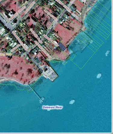
Note, if you chose to save (export) a map, you won't get the aerial imagery-- you have to copy and paste into a program like Word.