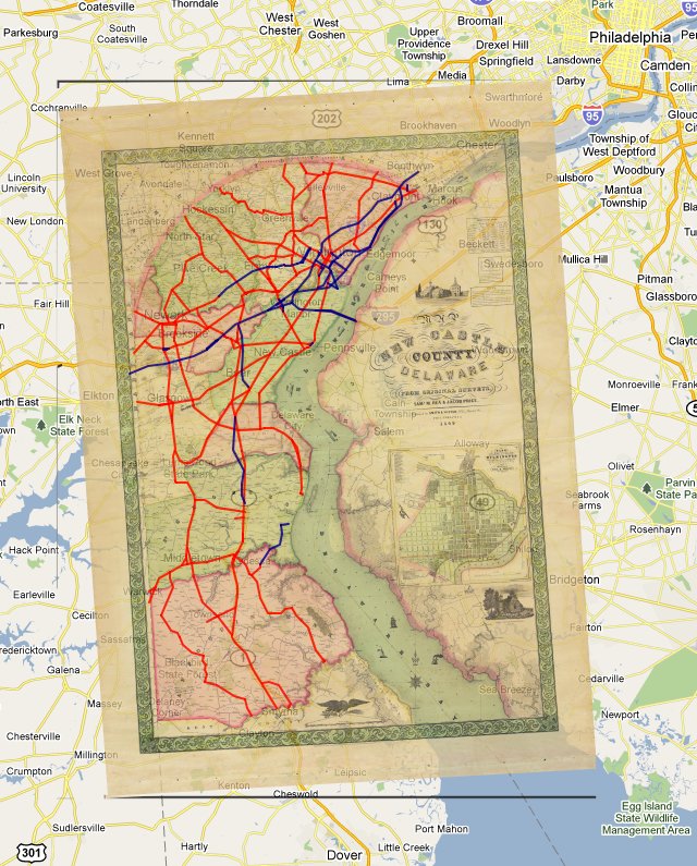
Google maps overlay. Most modern major roads (red) are aligned with pre civil war roads. Click on the map to open it. |
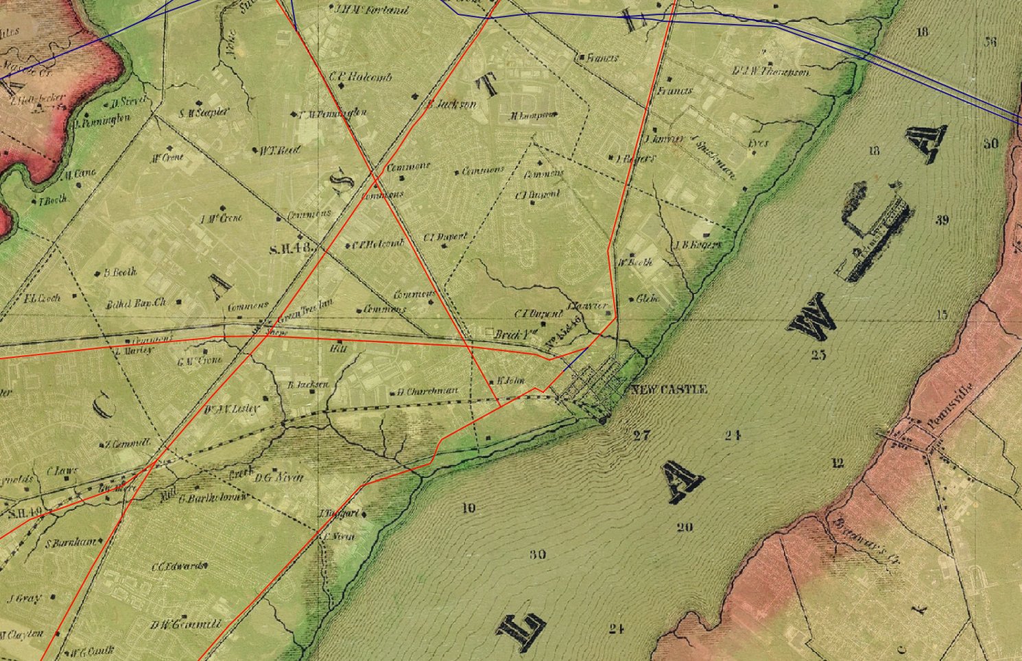 Closeup of the New Castle area with modern roads (red) and their predecessors: Route 9 north and south of town, Rte 273 (Frenchtown Rd), Route 141 (Basin Rd), Old Airport Rd and School Lane leading to S. H. (school house) #48. |
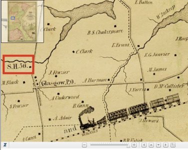 Zoomable high resolution regular version of the map. School districts are shown,
as well as schools (highlighted in red).
Zoomable high resolution regular version of the map. School districts are shown,
as well as schools (highlighted in red).
|