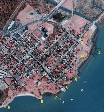
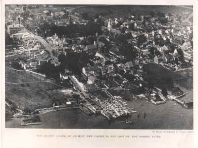
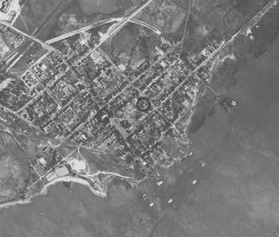
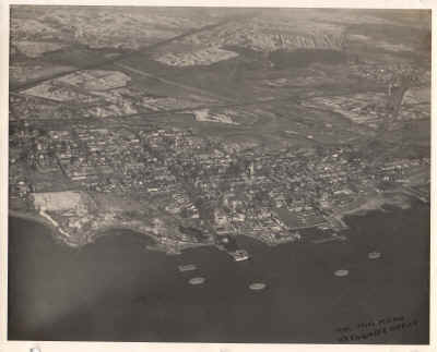
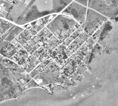
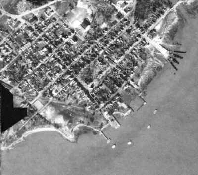
Historic and Modern Aerial Photos of Old New Castle
Aerial photos of most of Delaware since the 1920's reveal the relentless increase in density of development. However in the case of New Castle, whose streets date to the 1600's, changes are more subtle. Buildings come and go, the waterfront changes.
Some Delaware images are available online for 1926, statewide images are available from the University of Delaware Spatial Analysis Lab for 1932, 1937, 1945, 1992 and 2002.

