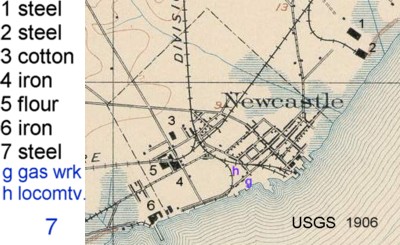
1885 Sanborn Insurance Map
Starting in the 1880's, the Sanborn company of Pelham, New York produced maps of towns with information on their buildings that could be used for ratings for fire insurance purposes. Data included the construction of the building, use, number of stories, distance to the nearest hydrant, presence of a night watchman, storage of inflammables etc.
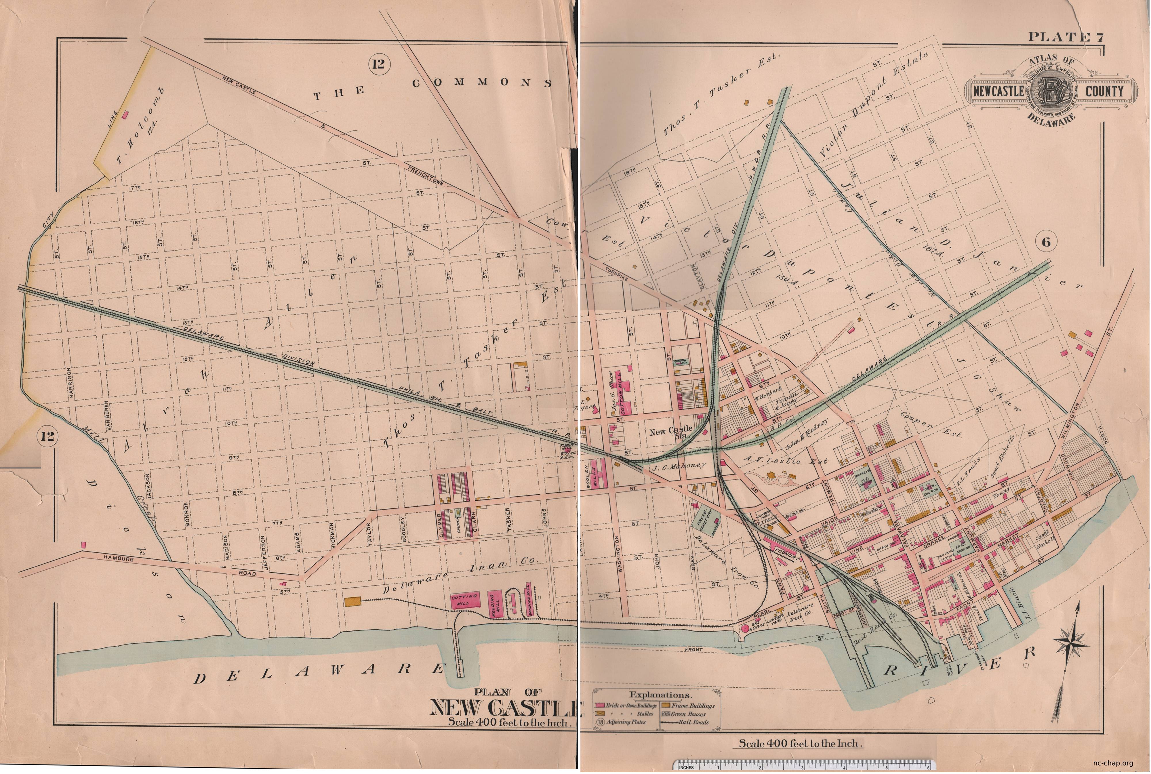
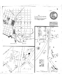
| Page 1 Overview Tasker Iron works |
Page 2 Gas Co. & Washington St. area: Triton cotton mill, Lea flour mill, New Castle woolen mill |
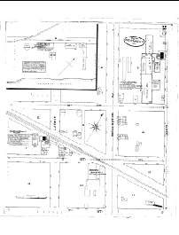
Page 3 5th & Delaware to 3rd & South |
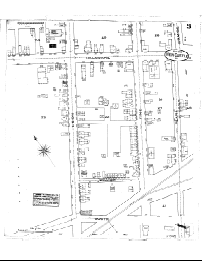
Page 4 3rd & Chestnut to Strand & Delaware |
 |
 |
 |
 |
For New Castle, it provides information on building use: for example, the first block of Delaware Street (including Cloud's Row) was almost entirely shops, while the first block of the Strand had a few businesses, it was almost entirely residential.
|
| ||||||||||||||||||||