Zoomable historic maps
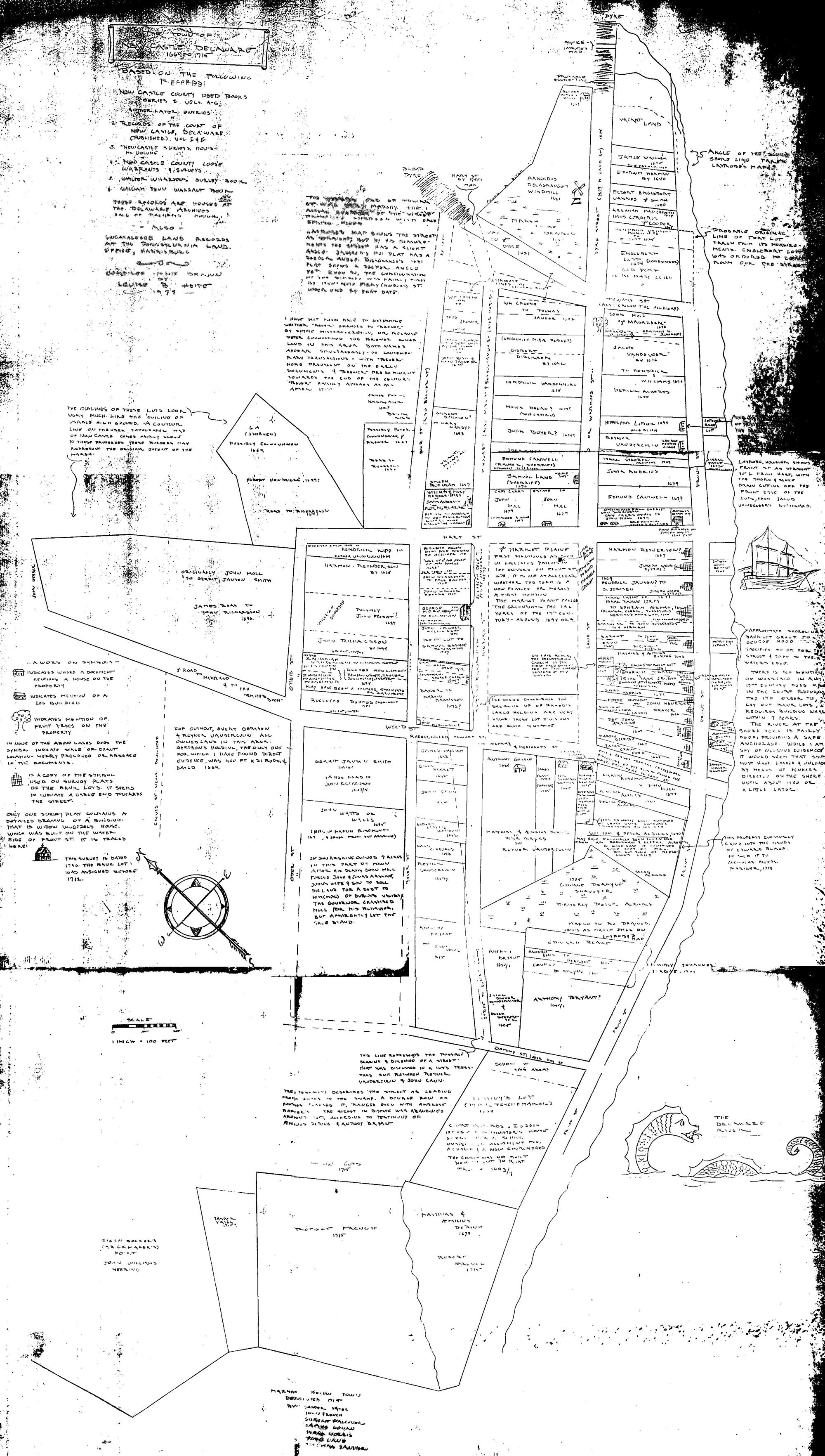
 Benjamin Latrobe's 1804 drawing of houses along several The Strand, the survey and a sketch of the
courthouse provide the best idea we have of the New Castle's early
appearance. The scans made by the Delaware Public Archives, Dover are quite large: up to 500mb, much
too large to view over the web. These zoomable maps allow closeup views:
Click on the links above, then zoom and pan using the controls at the bottom of the image, or use
the arrow keys on your keyboard to move the point of view, and shift or control to zoom out/in.
Benjamin Latrobe's 1804 drawing of houses along several The Strand, the survey and a sketch of the
courthouse provide the best idea we have of the New Castle's early
appearance. The scans made by the Delaware Public Archives, Dover are quite large: up to 500mb, much
too large to view over the web. These zoomable maps allow closeup views:
Click on the links above, then zoom and pan using the controls at the bottom of the image, or use
the arrow keys on your keyboard to move the point of view, and shift or control to zoom out/in.
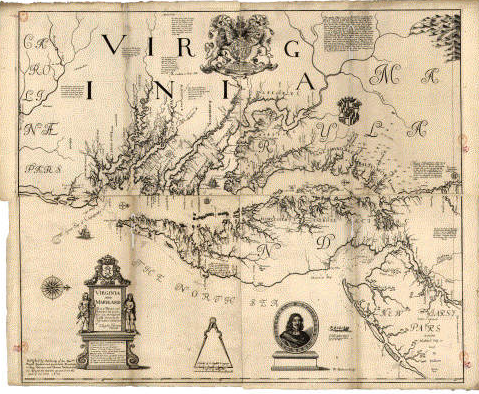 Augustine Herrman
This left-to-right map (mimicking the way mariners enter the Chesapeake) is based on the earlier map by John Smith (1612), but the Herrman map shows much more detail of Maryland and Delaware. The map helped him to become the Lord of Bohemia Manor! This map is from the Maryland State Archives historic map website.
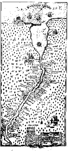 New Sweden or The Swedish River now the Delaware River in the West Indies (1654/1690) by "Fortifications engineer" Per Lindestrom.
Campanius Campanius version |
Johnson version |
Acrelius version
New Sweden or The Swedish River now the Delaware River in the West Indies (1654/1690) by "Fortifications engineer" Per Lindestrom.
Campanius Campanius version |
Johnson version |
Acrelius version Lindestrom came to New Sweden in 1654-1655 and witnessed the takeover by Stuyvesants troops. On his return to Sweden, he drew a version of this map that hung in the palace in Stockholm for years. He wrote a readable book in 1690 about his travels and included this map trying to earn some money. It was redrawn in ... by Thomas Campanius Holm, by Israel Acrelius in ... and Amandus Johnson in 1925. that book.
Lindestrom (Acrelius version) redrawn by Israel Acrelius in ...
Standard maps
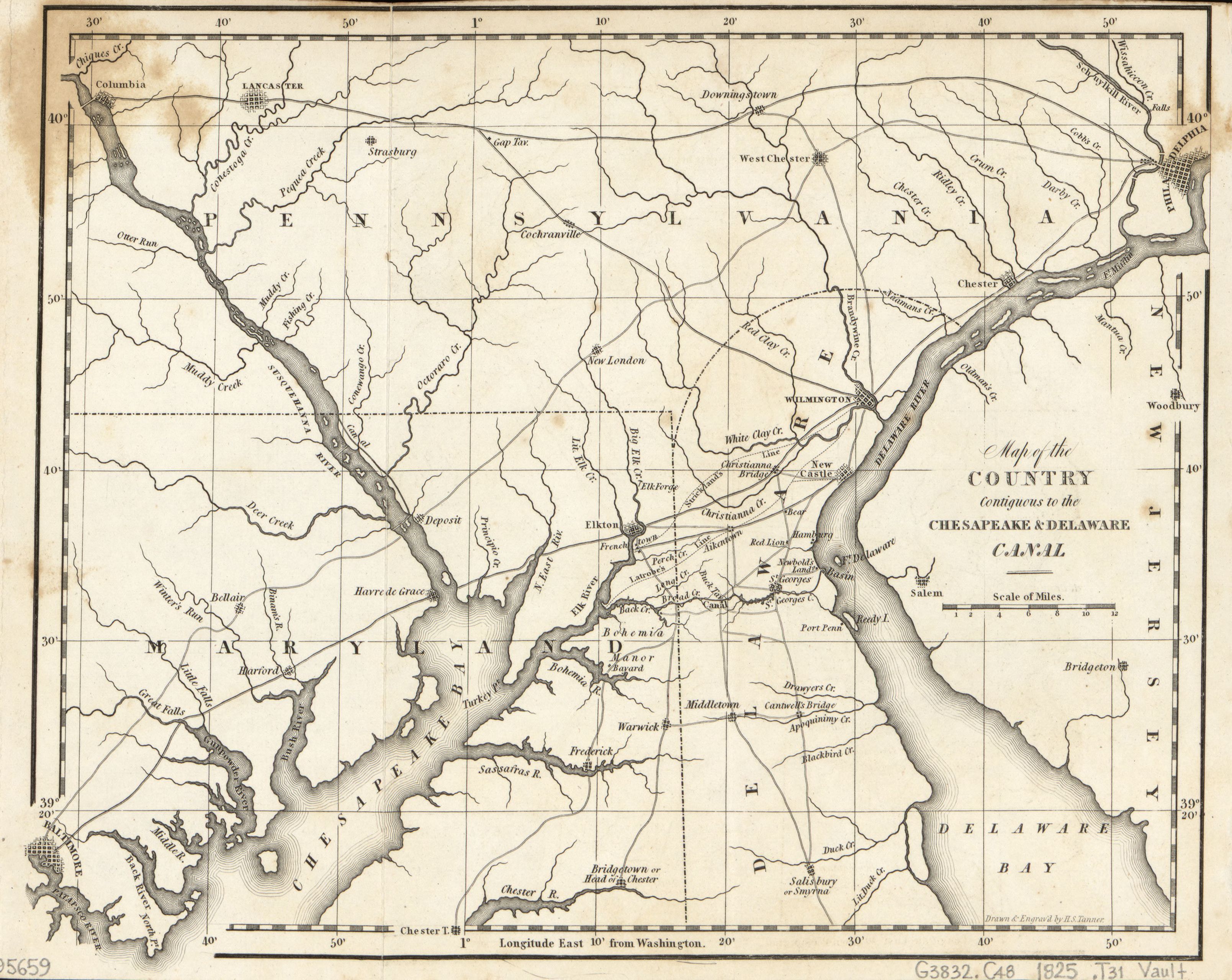
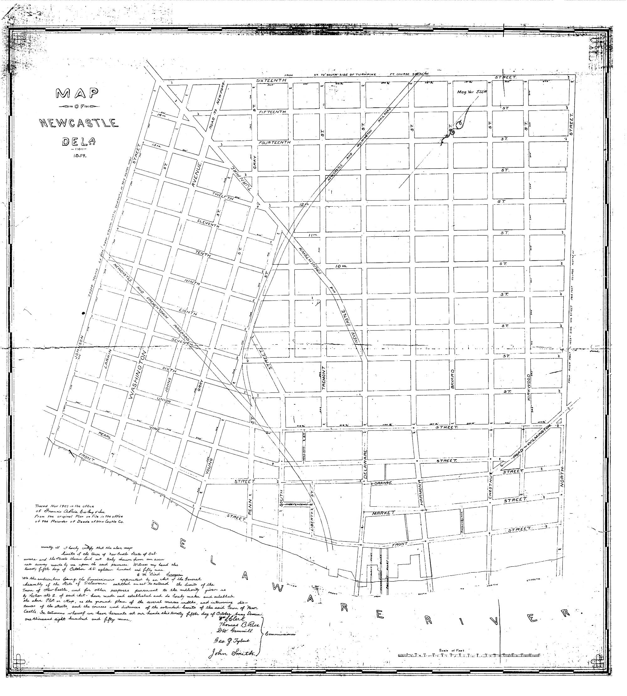
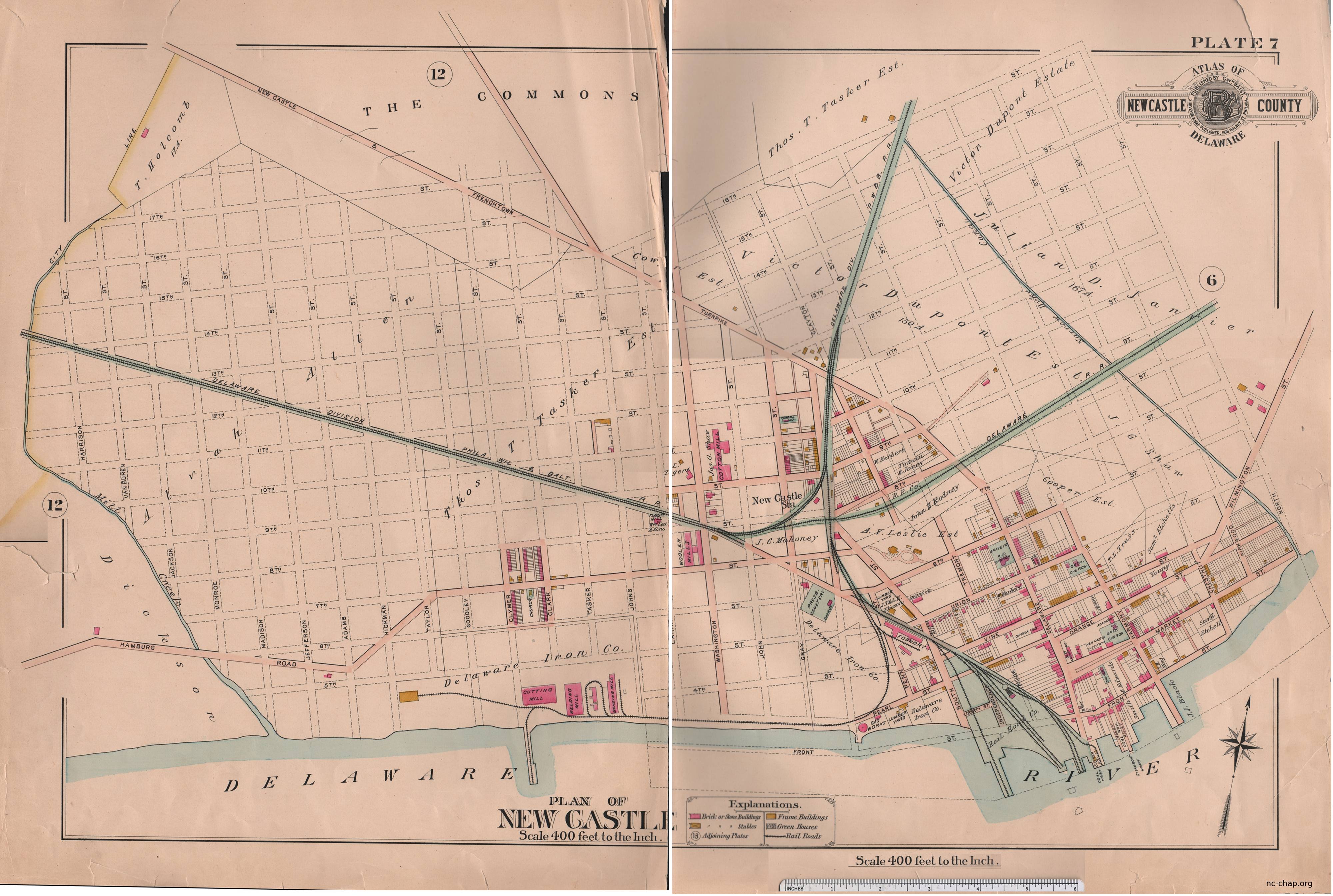
Latrobe Survey, and about the surveyGeoreferenced Beers Atlas maps of Delaware Hundreds and cities
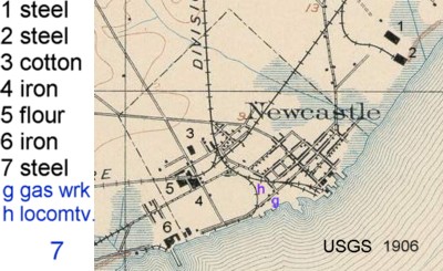
Sanborn Insurance maps, 1885 and 1901